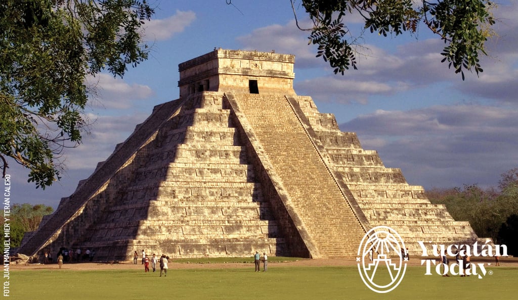
The Mayas left us a cultural legacy that we continue to admire and explore today. Proof of this are the “white roads” that we can still find in some archaeological sites such as Chichén Itzá, Cobá and Dzibilchaltún. Without a doubt they are an attraction to visit and see an authentic example of the wonderful Mayan engineering, as well as the commercial and mystical splendor that surrounded them.
“Sacbé” (or “sacbeob” in plural) comes from the Maya words “sac” (white) and “bé” (path).
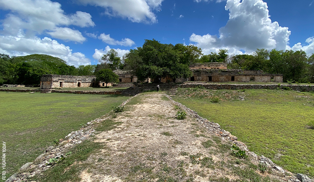
It is a straight path that can be between 4 and 20 meters. wide and up to 300 km. long; It is usually elevated, approximately one meter above ground level, and paved with “sascab” (limestone dust found on the peninsula) or lime. The largest stones were placed on one side of the road and the smaller ones in the middle to later be flattened, very similar to how roads are built today.
They were built mainly as communication routes to connect plazas and temples within the main Maya cities; Another of its functions was to maintain a social, religious, political and economic link between large cities and the communities that depended on them, connecting them with each other. In some cases they also functioned as hydraulic routes.
The Mayas, just like we now do by car on the roads, used to travel from one city to another but on foot!, whether for commercial or exchange reasons. Given the high temperatures of the peninsular climate, they used to do so at night and it is believed that the “sacbeob” were white to reflect the moonlight and thus keep their journey illuminated. It is also believed that they had a religious meaning, since a ritual was performed before crossing one.
Today, we can walk and see a “sacbé” inside a Maya city, like the one that connects the Castle of Chichén Itzá with the Sacred Cenote. Another is in Dzibilchaltún that connects the Temple of the Seven Dolls with the main square. If we go along the Puuc Route, in Labná we find the one that connects the south side of the buildings with the palace.
An example of those that connect cities is between Uxmal and Kabah with 18 km. long and is characterized by having arches at each end, symbolizing the beginning and end of the path. Others link Izamal with Aké and Kantunil; and that of Cobá with Ixil and with Yaxuná. The latter was the longest known “sacbé”, but discoveries have been made of a possible “sacbé” that would link T'Hó (today Mérida) with Izamal and to the Caribbean coast near Puerto Morelos with a distance of 300 km. Amazing!
Visiting a “sacbé” during your visit to the peninsula is being able to appreciate living proof of the extraordinary Maya culture. Traveling a path of more than a thousand years imbues you with that great wisdom and engineering vision that amazes us to this day.
With information from Mayan Archeology (arqueología-maya.org)
First published in Yucatán Today print and digital magazine no. 331, in July 2015.
Last updated in July 2023.
Download your free maps

Author: Violeta H. Cantarell
“Meridana,” traveler, animal lover, passionate reader, commentator, and enthusiastic promoter of the natural and human beauty of Yucatán.
Receive the latest articles and much more from the best of Yucatán in your email!
Related articles

Driving Tips for Yucatán
There's no better way to see Yucatán than to rent a car, grab a map and go exploring. Here are some things to consider when planning a road trip....
Maya Astronomy: Witnessing the Equinox in Yucatan
Discover the fascinating events of the equinox and solstice in Yucatán, see how the Maya integrated astronomy and architecture in their temples.


